Ahhh yes. It’s finally time to dive into an area that I’ve wanted to check out for years and years. Not only has it been a long term project mapping it out, but also collecting text, articles and photos that document the rich history that’s associated with this portion of the Mojave desert. This type of adventure is one of my favorites as it’s not just driving around point to point, it’s a journey through time retracing the footsteps of early settlers, pioneers and the hopes of striking it rich.
When there’s a substantial amount of information available, I like to print it out and match the page to a map, so you can reference the significance of the area while driving through. It’s mostly all copy and pasted from what I’ve found online and I’m very thankful to those who put in the work to publish their work.
For timing, it worked out well for me as Northrop Grumman had gave our facility December 24th thru January 3rd off – paid. Yeahhhh buddy. While this was great for me, getting others on board proved nearly impossibly, and rightfully so. It’s hard to plan around the holiday’s and whatnot. Though the regulars were out for this one, Bravo and Ashley said they’d be able to meet up Christmas morning until Tuesday.
I left early Friday morning, battling hard rain from San Diego all the way to the top of the Cajon Pass. Once at the summit, I broke through the lower hanging rain clouds and was greeted with drier weather and patches of blue sky.
Originally the plan was I’d get into Baker, do some local exploring then meet with Bravo and Ashley the following day. But as I got into Baker and was fueling up I got a text saying they weren’t going to be able to make it. Bummer! A change of plans and to re-evaluate the routes was in order as I wasn’t about to forfeit this adventure.
I’m pretty accustomed and comfortable with solo trips, but the remoteness and length of this made me a little nervous. Add in the fact that the weather was questionable and there was quite a bit of driving to be done through washes, low areas and lake beds. Fun.
Hit the powerline road just north of Baker, aired down and set a conservative pace towards the first few destinations.
First stop was Cree Camp / Mammoth Mine Group. Funny enough, really wasn’t able to find anything out about it. No timeline, what they were mining, nada. Nonetheless, I love old cabins and the vibe they put off.
From Cree Camp, continued north where the trail would veer off towards the east just below the Turquoise Mountains. Located within the mountains are a few prehistoric turquoise mines that have been mined over a 1500 year period. While I didn’t venture off into this area, it was interesting to drive along where there is so much old history.
In more modern times of the late nineteenth and early twentieth centuries, the “Great American Turquoise Rush” of 1890-1910 was on. The “Rush” was given a boost when George Kunz, a special agent for the U.S. Geological Survey, and perhaps even more importantly, a Vice-President of world renowned Tiffany’s, declared in 1892 that turquoise mined in the area was equal to, or perhaps even superior to Persian turquoise which to that point had been the world standard. Needless to say Kunz’s comments stirred an even greater interest in turquoise found in the region. (Tiffany’s was so enamored of turquoise that it became the foundation of the company’s iconic blue box.) It is this legacy which has established the Pacific region as perhaps the finest source of turquoise today.
Miner James Hyten established a claim on Turquoise Mountain in 1896, naming it the Gem (later known as Stone Hammer for the primitive mining tools found there.) Hyten ultimately sold his interest to the Himalaya Mining Company in 1900. By the end of the year, the company would ship $28,000 (more than $400,000 in 2018 dollars) in turquoise to New York. Six years later the mine was sold to the Toltec Mining Company. The company also operated the Toltec Turquoise Mine which displayed numerous signs of prehistoric mining and which had given the mountain its name. – Source Credit pchmines.com
Also located on the Turquoise Mountain is an old AT&T radio facility. The Himalaya Mine is located just below the towers.
Former AT&T long lines junction/switched microwave facility, owned by Pacific Telephone & Telegraph Company (now Pacific Bell). Microwave paths were Potosi Mountain (Nevada), Mountain Pass, Kelso, Sandy and Ibex. It is now a UHF repeater site, high level digital.
Turquoise Mountain was a major junction point for both commercial and military traffic transitioning east-west along the Mojave Desert corridor. It was a military AUTOVON site and had a semi-hardened structure to protect from nuclear attacks. Antennas on top were known as GEP or Ground Entry Point antennas and were used with the Echo-Fox secure military communications system to communicate with Air Force One. – Source Credit wikimapia.org
Alongside the trail is the old Wanderer Mine, another prospect owned by James Hyten.
James Hyten, a resident of San Bernardino, continued to work the mine throughout the years, occasionally leasing it out. By 1930 there were a number of shallow shafts, the deepest being 125 feet. There was also a 20 ton per day capacity mill. They extracted 16 tons of ore which was milled at the Wanderer mill and it is stated they recovered $100 per ton on the plates, with a loss of $65 per ton in tailings. – Source Credit mojavedesert.net
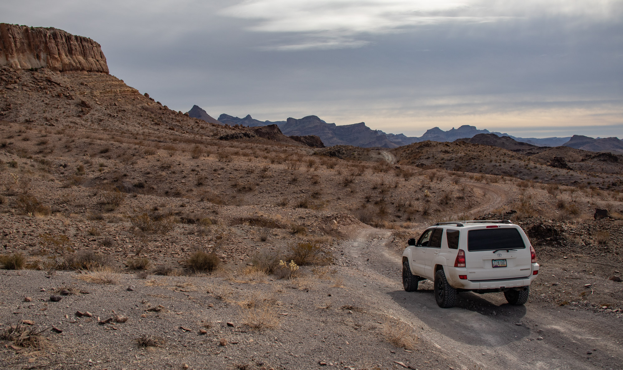
Moving south-east towards Halloran Springs offered some pretty spectacular views.
Came across the Arrowhead Mine, also worked in the 1930’s.
Next up was something I’ve driven by and looked up at numerous times while traveling on the I-15 by Baker – the old navigation beacon located atop Negro Head. Hey, I didn’t name it. To get there, I made it to Halloran Springs, then paralleled the freeway along the transcontinental cable access road. The trail up is slow going and rough, with sharp volcanic like rock imbedded in the dirt.
In the days before high-tech navigation systems, pilots flying across the country had slightly simpler tools to point them in the right direction: a network of beacons and giant concrete arrows.
Some of those arrows still exist today—huge, mysterious, brush-covered artifacts, generally in remote reaches of the country. To an unsuspecting hiker, it might be a startling discovery. But together, these beacons and arrows tell the story of how the country’s earliest airmail and commercial airline pilots navigated the skies.
From 1918 until about 1926/1927, the Post Office Department operated the nation’s airmail service. This was the early days of air travel, and the department needed a way for pilots to get from point A to point B safely and reliably, especially during nighttime flights or in bad weather. The solution? The department installed a system of 50-foot lighted beacon towers across the country, spaced several miles apart from each other.
Eventually, the Post Office Department turned airmail delivery over to private contractors. In 1927, the Department of Commerce took over responsibility for the airways, and they continued to build additional flyways and expand existing ones. And it was around then that they installed the 70-foot-long concrete directional arrows at the beacons.
It was an easy enough system: The beacon towers were each assigned a number. The arrows would point to the beacon with the next highest number. That way, whichever direction you were flying, you would know which way to go to find the next beacon on your path.
It was an imperfect system.
The beacons were designed to be especially useful at night, as pilots would fly from one light to the next. But at night, they weren’t able to see the concrete arrows on the ground. And during the day, the pilots would often fly too high to see the arrows clearly, anyway. Instead, they relied on rivers, mountains, and other landmarks.
The last arrow was constructed in 1931, and as new navigation technology advanced, the arrows and beacons were essentially obsolete. – Source Credit savingplaces.org
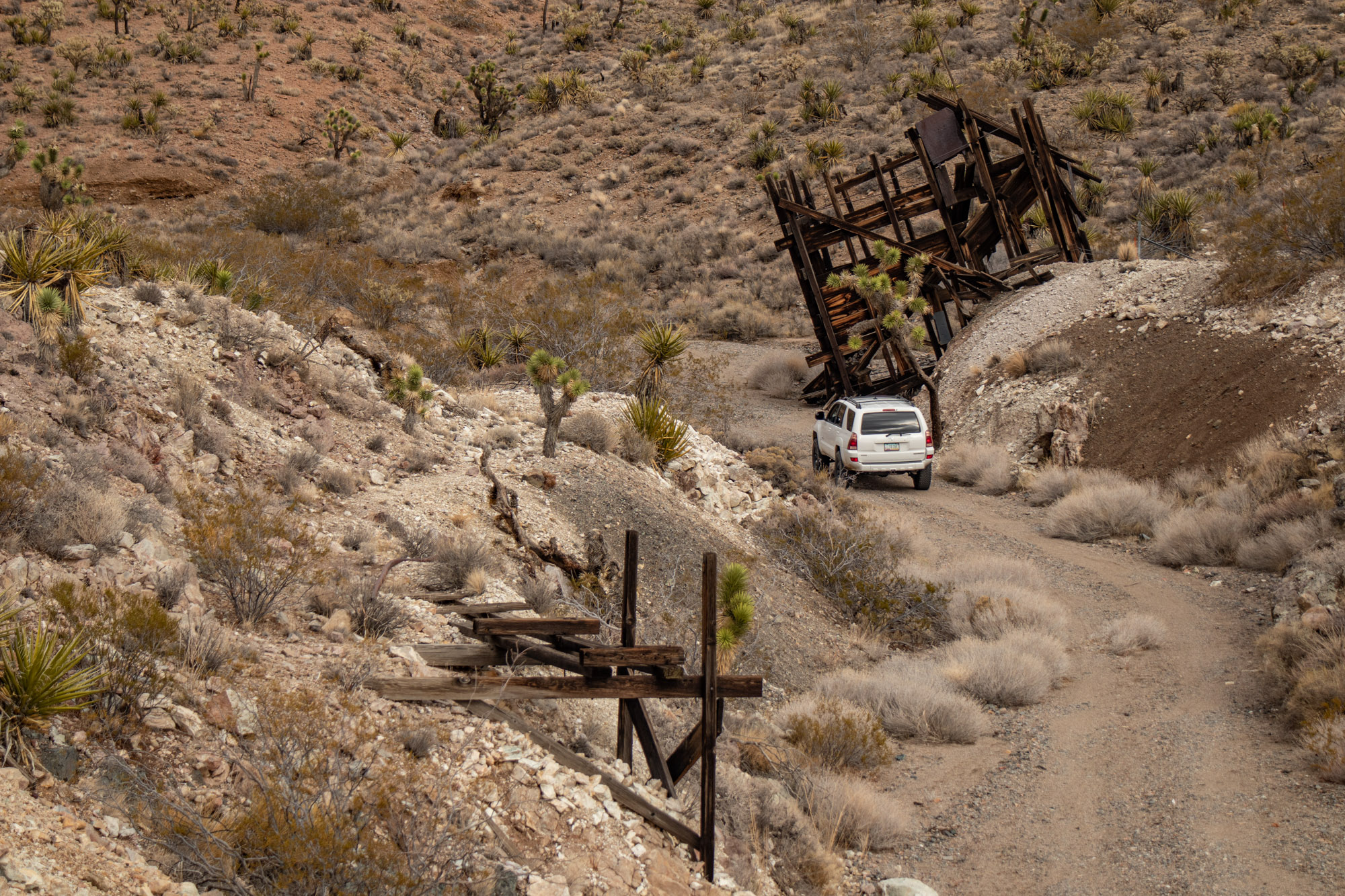
A bit further to the east is a unnamed mine according to all the sources I use, therefore no information. The 2 adits appeared to go in a ways, some ore tracks remain and the front supporting legs on the ore bin have collapsed. Not sure how much longer it’ll be standing and will most likely prevent passage on the trail once it does eventually crumble.
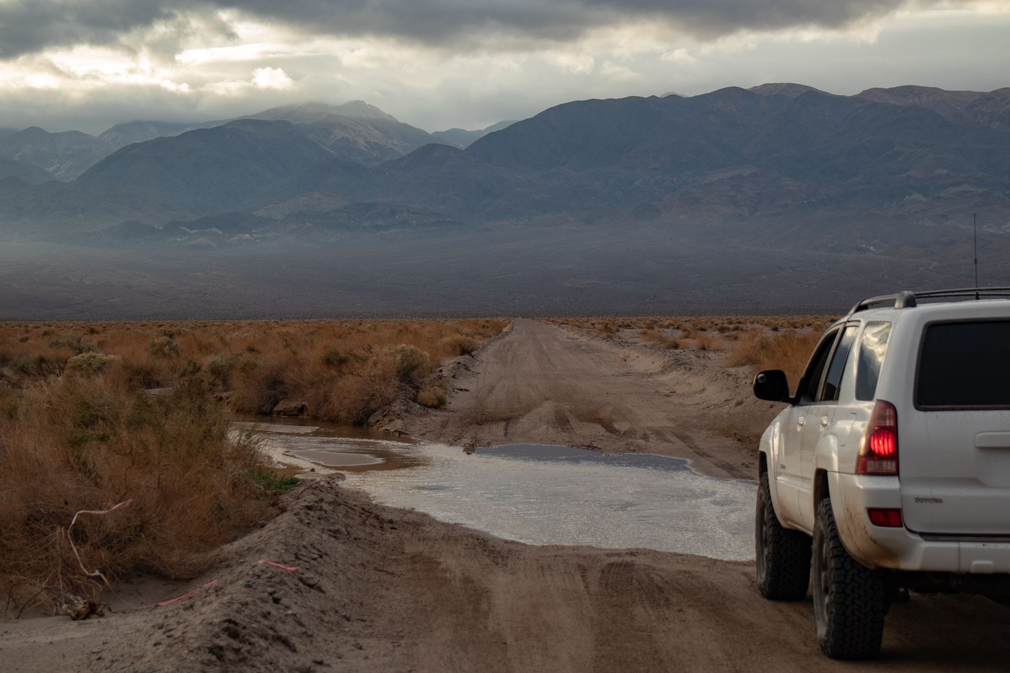
A bit further east heading towards Shadow Valley I’d make a left to head north, skirting along the small hills and the plateau that features Solomons Knob. Things got a little interesting here as some of the trails had some slick mud, and the wash that I intended to take hadn’t been traveled in quite some time. Plus, the recent rains made the sand a bit mushy in spots which got the heart rate up a bit.


Looking towards Shadow Valley and the Clark Mountain.

On the eastern side of Squaw Mountain are the Huber claims. All I could find out was they were owned/worked by the Huber brothers, Arkey and Chester. Arkey was a WWII veteran and a well decorated combat pilot.


The sun was about to set and it had already been a long day. I was looking forward to a little relaxation so I headed a bit down from the cabin and setup camp for the night. Campfire, cold beers, warm food, shoot the beer cans with the BB gun, take in the scenery, then off to bed.

Works for me. I’ve had the fancy stuff and while it was nice, I’m enjoying simplicity
I set my alarm early for Christmas day as something pretty significant was about to take place. The long awaited launch of the James Webb Space Telescope. Being that our facility built some of the main structures for it, and the entire satellite itself being built by Northrop Grumman, it made it that much more exciting. The reason for this particular camp site was that there was cell service so I could watch. Go Webb!
Couple hours later the sun came up. Quick breakfast, coffee and time to hit the trail.
Just down the trail is the Orex Placer mine. No information on it unfortunately. I’ve never seen something like this before, but I’m guessing since it was a placer mine it was some sort of concentrator/hopper before going through a sluice box?
Heading north I went up into Shadow Mountain to check out the mining operation there. There appeared to be a few people out along the hills doing some small scale mining/prospecting.
In early 1894, there was a brief gold rush to the Shadow Mountains, as the Mining and Scientific Press reported, quoting the Vanderbilt Shaft, “Of all the mineral producing districts contiguous to Vanderbilt…none have attracted more attention in mining circles here during the last two months than the Shadow Mountain country.” “…’Shadow Mountain,’ says a prospector of that section, ‘is the poor man’s country, for the reason that there is rich rock from the grass roots down. The veins are large and the ore rich, and it is bound to be a good place. There are more men coming in every day now, and very few are going out. Everyone is doing well.'” The Redlands Citrograph noted that several deeds for mining property have been filed.
In January, 1895, the Shadow Mountain Mining District was listed with new mining districts of San Bernardino County. However, just a year later the district is summed up by the California Mining Bureau, “The small size of the veins, some of which are faulted, the great distance from supply points, and scarcity of water, have retarded the development of the mines, and the district is practically deserted.”
In February, 1895, Mr. Stewart, former owner of the store at Keystone, bought the 5-stamp Shadow Mountain mill, located at Valley Wells, and was soon to start milling ore from the Shadow mines. At the same time, Gus William and Pete Wagner were working their mine here, having shipped 10 tons the Campbell’s mill at Vanderbilt. Thirteen years later in 1908, H. Amos Perkins purchased William’s mine, and began working a force of 16 men sinking two shafts, and erecting a new mill at Valley Wells. After this report there is no way to correlate the properties which sporadically were mentioned here over the next 10 years.
In 1910 E. William Johnson employed with the Golden Eagle Copper Company worked a mine here. Julian Douglas and his brother, natives of New York, had interest in the Black Beauty mine between 1911 and 1914, Julian’s arrival in Cima in January 1914 received a note in the Barstow Printer. In May, 1913, Arthur and Scheff Henrie were working their mine, and began shipping small lots of high grade ore containing nearly 3 ounces of gold per ton and a little silver, copper and lead. About a year later the Barstow Printer mentioned Dan Henrie’s son Kenneth had recently come from Salt Lake City “en route to Shadow Mt. where he expects to work their gold mine.” D. F. Hewett indicates this mine, known as the Henry or Dan Henry, was first worked as early as 1895.
By the late teens the mines of Shadow Mountains were consolidated by E.D. Foster. Foster located 22 claims, known as the Glory Group or Foster Mine. But the original mine names also were used including the Dan Henrie, Gold Hill, Grey Copper, and also the Foster Mine – a copper mine situated in the low hills that form the western part of Shadow Mountains. By 1926 there was a 250 foot adit at the Foster mine and two shafts, 60 and 80 feet deep.
Prior to 1937 Foster drilled the property, only to discover the granitic gneiss host rock had been thrust faulted over unconsolidated clay and sand of middle Tertiary age. In the late teens 35 tons of ore was shipped from the Dan Henrie mine, which by 1926 had a 750 foot long adit. The Gold Hill mine, a lead mine, was leased in the late 1930s to Marty Herbst of Los Angeles. A 600 foot deep well was sunk 2 miles from the mine – a 55 foot deep inclined shaft, and simple gravity concentrating mill was erected at the well. Foster died in 1946. – Source Credit Vredenburgh.org
Left the Shadow Mountain Mines, followed the powerlines towards the west then worked north making my way down into Valjean Valley.
Trail gets slightly technical going through the small canyon. Boulders, rocks and a couple small waterfalls require good tire placement. High ground clearance recommended.
Next stop is the Crusty Bunny Ranch Cabin. Appearing to be built/worked in the mid 1900’s or so. Surprisingly, almost zero information is out there on the cabin or the mines by it. Sadly it is succumbing to the elements and rodents. Holes in the roof, water damage, rodent nests and droppings everywhere. Real bummer as this would be an amazing place to stay. The views, plenty of flat parking and openness is epic.
I’ve never really looked into the legalities or what would be required to perform work on places like this. Is a permit needed? Giving it’s a structure, does any work that takes place have to follow modern day codes or is it just a hush hush do it type of thing?
Wish I was more handy and prepared in terms of construction as I’d love to spend a few weekends at a dedicated cabin to clean it and fix it up. It’s going to be a real shame when all these cabins are no longer standing and aren’t around to enjoy. Maybe that’s a trip I can try and put together…
Trail from the cabin down the valley is pretty nice. Smooth and flows really well, perfect for a mid-travel Toyota. Along the way you pass the Eastern Star Mine.
Dumont Dunes are named after Harry Dumont, manager of the Pacific Coast Borax Company that built the historic Tonopah and Tidewater Railroad. The Dumont dunes are about 400ft high and extend for nearly 12 miles. Most every dune type exists here in the dune field including barchans, transverse, star and longitudinal dunes. The source of the sand is predominantly from the west and south, probably derived from alluvial fans and the floodplain of the Amargosa River. The dunes most likely postdate the last high stand of Lake Manly (Badwater, the lowest point in Death Valley), probably about 18,000 years ago.
The Dumont Dunes are one of several dozen dune fields in that they are classified as “booming sand dunes”. While the best sounds in the California desert can be heard at the Kelso Dunes some distance south of here, these and the Eureka Dunes offer some noise under favorable conditions. The noise is generated when sand grains slide against one another during a sand cascade or rarely during sand storms. – Source Credit digital-desert.com
Eventually ended up at the southern end of the Kingston Wash. While there was nothing super technical, finding a path through at times proved difficult after the rains. Lot’s of searching for the trail, often times you think your on the proper line but then be forced to crawl over river rock and small boulders to the next path that goes through. It was fairly scenic though and was able to find the 2nd Mojave Heritage Trail mailbox.
The Kingston Wash once formed part of a travel route used by Native Americans crossing the Mojave. Good water sources could be found at Coyote Holes and Kingston Spring, making this path favorable. It was later used by the Spanish and then American settlers moving out west after the Mexican-American War. It was also a popular route for horse traders moving along the Old Spanish Trail.
In the 1920s, homesteaders came out to these parts to try their hand at cattle ranching and dry farming. Many left after the Great Depression ended and better opportunities awaited elsewhere. – Source Credit off-road.com
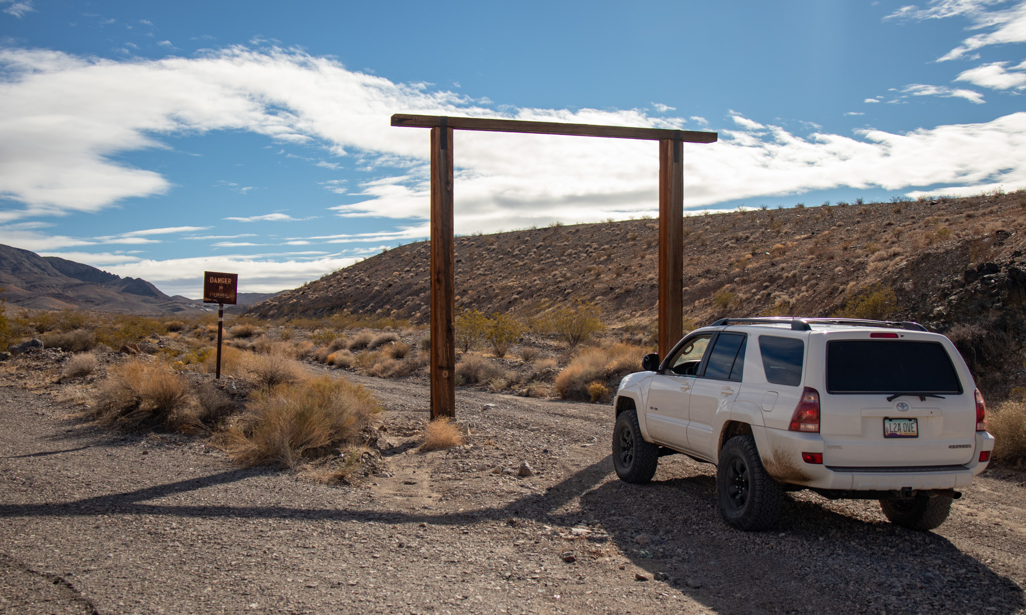
From the gate it wasn’t too much further to Excelsior Mine Rd. It was about here that I realized I was going to dramatically change my trip. It was Christmas Day and I knew my parents were bummed I wasn’t going to be there as I’d be doing this trip with some friends, but that changed. Also, the wind and cold was miserable at times and overall just wasn’t feeling staying another night in the desert, especially in this general area.
So I decided to mix it up and go surprise my parents for Christmas, spend a few days with them, explore the mountain range behind their house, then resume this portion of the trip on the way home.
After airing up, I jammed to Fort Mohave, AZ where a warm house, comfy bed and my awesome parents were waiting.
To be continued!!!



great trip & report kyle
it’s been a while since checking into your adventures, but i see you’ve been busy…
i look forward to catching up!
Thanks for checking in and following along