As it turns out, the Sierra’s are riddled with flying insects. Even more so when around a body of water. That morning it was very apparent that the bug spray went on way too late and we were eaten for dinner by the lake locals. Red bumps and itching isn’t the best way to start a fresh day – but we survived. Regardless, we really took our time getting ready with a warm breakfast and hot coffee before packing up and organizing for the adventure ahead.
Lot’s of ground to be covered today so let’s get started!
Step 1 – Return to Mammoth for fuel and a quick car wash… (yup, that happened.)

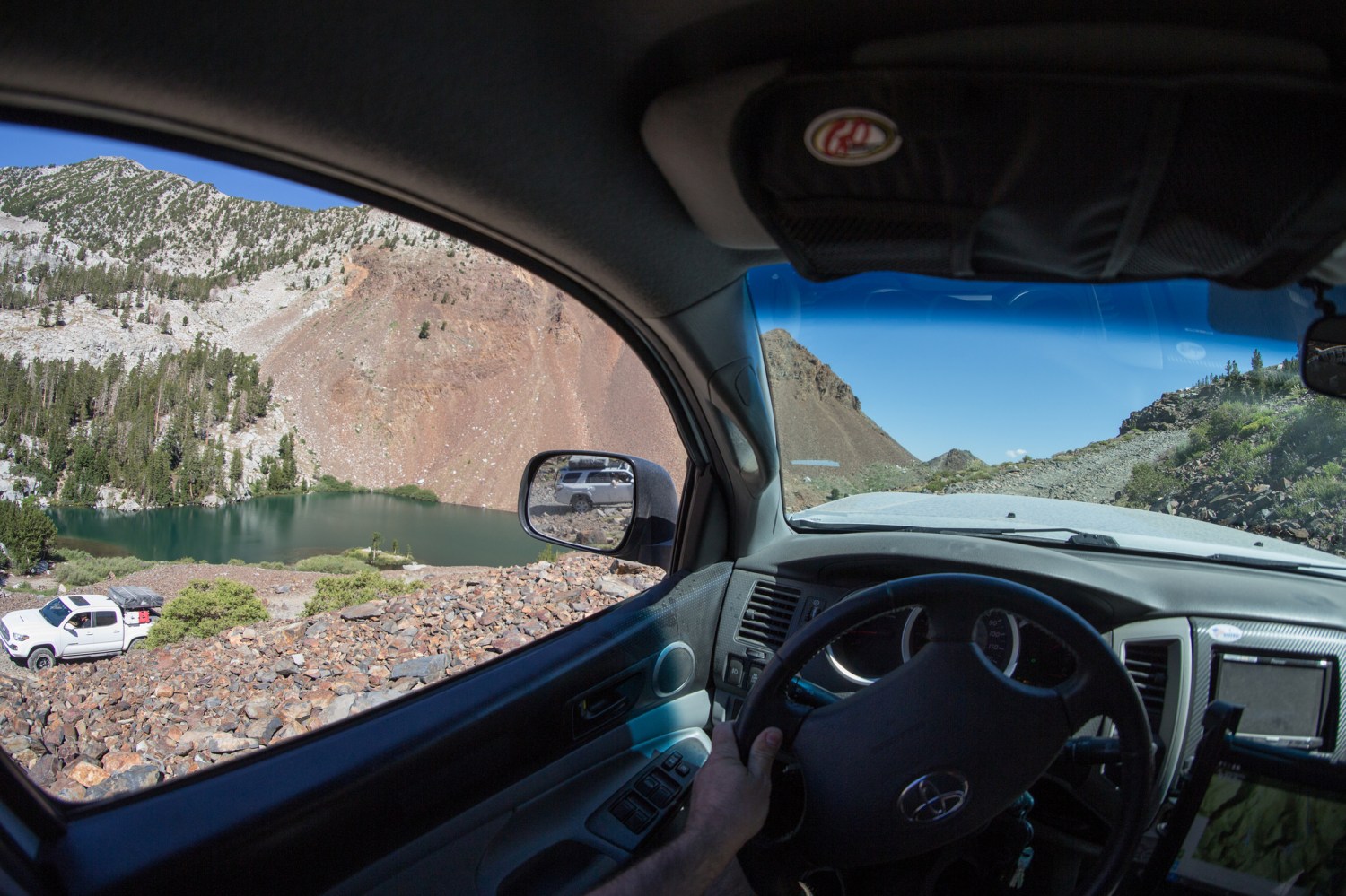


Step 2 – Cross over the 395 to take forest roads north towards Mono Lake. Not much time was spent on photo’s for this particular section as it closely resembled areas we’ve already been through. Instead we put the pedal down and enjoyed the smooth trails through the trees.


Eventually the trees come to a abrupt end as you cross over Hwy 120 and the size of Mono Lake dominates the horizon. Bright blue sky reflects off the salty water giving it a surreal type appearance. From the 120, Old Bodie Railroad Grade eventually ends at 1N54B – a narrow and silty path around Mono Basin. By far the dustiest section of trail in recent memory – it was mostly a chore and rather eventful other then the memorizing view out the driver side window.


On the eastern most edge of the lake, the trail “Y’s” off into two different directions. The original planned route to the left was blocked by a rather large and questionable ravine. The right was a straight shot towards Pole Line Rd. I decided to follow the original route so at this point the group went in two different directions for a few miles and were to meet up at the road crossing. Eventually the direction I took led to run along sandy two track and through a stretch of white sand dunes – some of my favorite terrain to drive in.

All was going well until something shiny in the distance caught my attention. A mid 2000’s Tundra and a smaller 4 door car appeared stuck in the soft sand directly on the trail blocking passage through. I stopped a ways back and observed my surroundings. No one was around and only a single set of footprints nearby. I locked up the truck and proceeded by foot to scope out the situation, slowly approaching the vehicles from the side. Getting closer I could tell that a vehicle was running, then could see figures inside the car through the dark tinted windows. The rear door suddenly pops open and a older man emerges, looking pretty wiped out from either sun exposure or some type of substance. I asked if everyone was OK and if they need any water or supplies but the offer was refused stating that they had what they needed. The only request was if I had a tow strap and could help them out. Quickly examining their situation, knowing the sand was quite soft in this area, my truck being a overweight pig and currently alone I reluctantly said there wasn’t anything I could do. Apparently they had a tow truck on the way so I wished them the best and continued on my way. Honestly, it was a weird deal and didn’t feel right and glad I got out of there. In all reality, probably over thinking it but better safe then sorry.
Now, the tricky part was figuring out how to get around and back onto the main trail. The sand was soft and covered in bushes and vegetation. I spent some time waking around and plotted out a path that wouldn’t leave any sort of imprint other then tire tracks in the sand.


Met up with the group on the other side of the highway and we made our way to Cottonwood Canyon Rd. The clouds we saw from a distance while driving around Mono Lake had intensified and were moving into our direct path. As we got closer the rain began – followed shortly by hail, then heavy downpour.


Step 3 – Visit Bodie Ghost Town during a raging thunderstorm. Even with the thunderous weather the main parking lot was nearly full and a few brave souls were out walking around. The odds of getting struck by lightning and enjoying a nearly empty ghost town was a risk we were willing to take so we suited up and enjoyed the creepy ambiance.


We got lost within Bodie – more time was spent among the relics then was originally intended. It’s one of those places where the more you look the more you find. Every building and section of the town had something new and interesting that captivated us. What a time to be alive! Old mining equipment that’s considered a thing of the past was once the latest and greatest. Empty streets were once bustling with people of all ages. The booming sound from the clouds would have instead originated from the giant mill rested against the mountainside. If time travel were possible, I’d absolutely love to come visit a town like this back at it’s peak to talk, experience and live the life people once did.
Our extended stay meant we’d have to cut our trip through the Bodie Hills to Mosonic Mountain and the Chemung mine short, but I think it was a worthy trade-off. Even still, hopping onto pavement because it’s “easier” is never an option for us, so a detour would still give us a taste of the remaining route. Couldn’t have hit the trail at a better time! The rains left the dirt in the perfect state of being wet enough to keep down the dust, but dry enough to not make mud. Needless to say, we made really, really, REALLY good time to our turn off point – Aurora Canyon.
No time for fancy pictures as we were getting tired, hungry and racing the clock against the sun. Also, too much fun driving.


Quick stop at Bodie Masonic Rd and Aurora Canyon intersection. This is looking down towards Bridgeport.

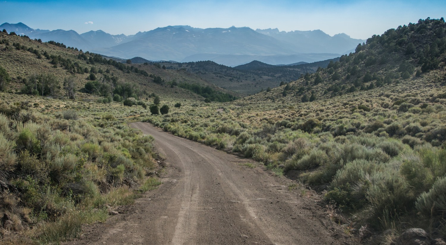


Aurora Canyon Rd ends in-between the town and the reservoir of Bridgeport on highway 182 and only a couple miles from the 395. Our camping spot was to be in Copper Mountain northwest of Mono Lake. A series of trails leads up the ridge adjacent to Lundy Lake.


The time we finally found a suitable area we were beat. Usually on our trips there is at least one day that’s mentally and physically draining and today was it – at least for me it was. First thing after a long hours behind the wheel is a cold beverage, followed by getting the Tepui set up. From there it’s time to relax, eat dinner and become memorized by the mediocre view.


Really enjoying your pictures and trip report. The eastern Sierra is like heaven on earth for me and I’m always looking for new places to explore. Do have the GPS coordinates, or can you provide a general idea of how got to the campsite near Copper Mountain/ Lundy Canyon? The views up there look astounding. Thanks for your trip reports, much appreciated!